Leadbetter State Park
The sun woke us by peaking in the skylight. A sunny day. Whoo Hooo! We planned on hiking so it would be a perfect day. I’ve found out that Cape Disappointment is one of the foggiest places in the US with 2552 hours (equivalent to 106 days) of fog so I’m very happy to see the sun.
You can not cook in the yurt so we got up and went out to start up our camp stove and boil some water for coffee. Dew still dripped from the trees but it was calm and pleasant. We had a hot cup of coffee and bowl of cereal before heading off to the end of the peninsula.
Cape Disappointment is at far southwest tip of Washington state. To the south is the mouth of the Columbia. To the west, the Pacific Ocean. Across the Columbia, is Fort Clatsop where Lewis and Clark wintered in 1805 after reaching the Pacific from their journey St Louis. It was named in 1788 by a British sea captain John Meares who took shelter in a cove from a sea storm. He was looking for the fabled great river but failed to find the Columbia River due to the treacherous bars at the mouth. A few years later in 1792, Captain Robert Gray would cross the bar and name the river Columbia after his ship Columbia Rediviva.
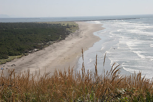
To the north is Long Beach Peninsula; a long finger of land and sand jutting up into Willlapa Bay. The beach goes for miles, in fact 28 miles. Washington State also allow driving on the beach so there are entrances along the way to drive out onto the beach. I didn’t have nerve to do it this time because I’ve done in the past and gotten stuck in the sand.
Our destination was Leadbetter State Park at the northern tip of the peninsula. Driving up the peninsula, you drive through the typical beach tourist towns filled with junky gift stores and weird museums. All along there are obvious signs that fishing and shellfish is a major industry. Boats in yards, piles of crab pots and mound of white oyster shells fill yards. Oysterville is near the tip, a sleepy Victorian town still known for Willapa Bay Oyster harvests.
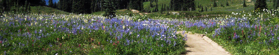
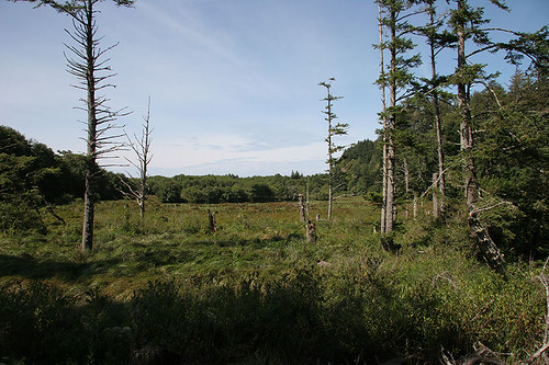
We reached the parking lot at the park and pulled on our boots. We had several false starts at finding the trail we wanted but finally did. The trail winded along the bay and then across the edge of the salt marsh before crossing through the low spruce and shore pine forest.
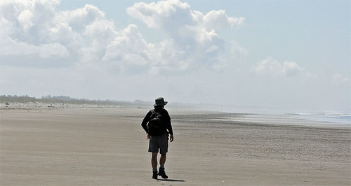
The trees ended and we crossed grass covered dunes to emerge on a long almost secluded beach. The upper beach area was roped off to protect the breeding grounds of the snowy plover. We decided to hike a half mile down the beach to catch a different trail back to the parking lot. Along the way, we stopped to watch a large flock of plovers dancing along the edge of the surf. They were so cool undulating in mass with the surf.
Once back at the car, we headed back towards Ilwaco. We stopped in Long Beach to check out the condos along the shore in case we wanted to return in the winter. Along the boardwalk, we watched the kites flying the beach and a car being pulled from the sand. Oh yeah, I don’t want to drive on the beach.
We also stopped to check out the North Head lighthouse and the vista from the cliffs above the camp. Hunger was calling so we drove over to Astoria for a couple of beers and some good grub at Fort George Brewery.
The skies had turned gray and rain was immenant. We headed back to the yurt and relaxed for the evening. We listened to the rain on the canvas roof and it lulled us to sleep.
Here are the photos from our hike.
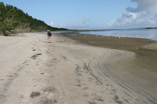
Along Willapa Bay at the start of the hike
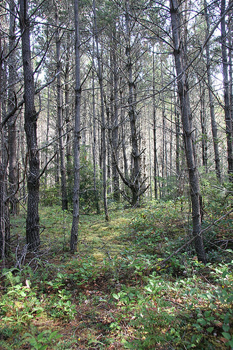
The forest of scrubby pines along the trail
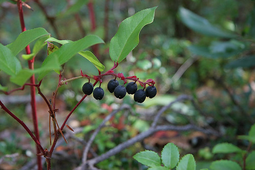
Salal berries
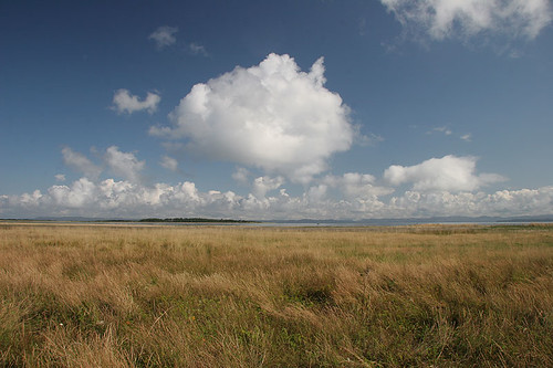
Salt Marsh
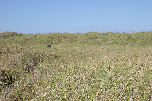
Through the dunes – the beach is just over the rise
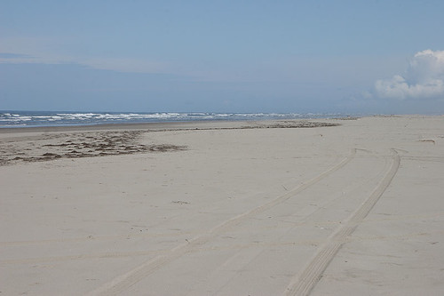
A portion of the 28 mile long beach – note the tire tracks
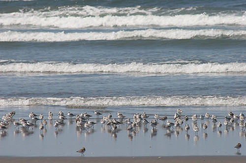
Snowy plovers
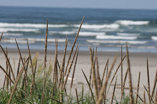
Dune Grass
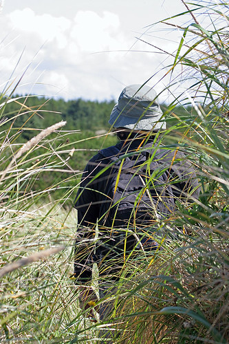
Heading Back
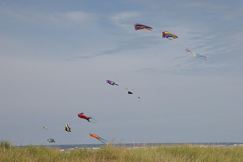
Kites at the beach
Beards Hollow – this used to be the ocean until sand filled it in from the jetty
The beach and camps at Cape Disappointment
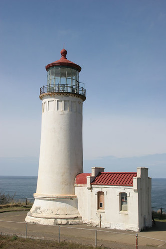
North Head Lighthouse at Cape Disappointment
Beautiful place!! Thanks for answering the question of the name Cape Disappointment.